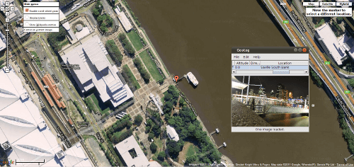
I haven’t made a screencast in a long time but I decided to share some info mostly about geotagging. I own a Nikon D90 and plan to buy a GPS unit that will write the global position system data to the exif metadata of my photographs and make them more manageable for me and allow me to do some cool things for visualising a map of my photographs.
I’ve been using a lot of programs to manage my photos but Im starting to settle for using DigiKam at least while using my best computer. The other program I talk about in the video is geotag.
A platform independent program to geotag images(use GPS data to store location information with the image).Uses external maps to fine-tune locations.
Anyone can use geotag to tag their photos very easily. Watch my video below.


